|
Geiranger - Trollstigen Scenic Route, Norway
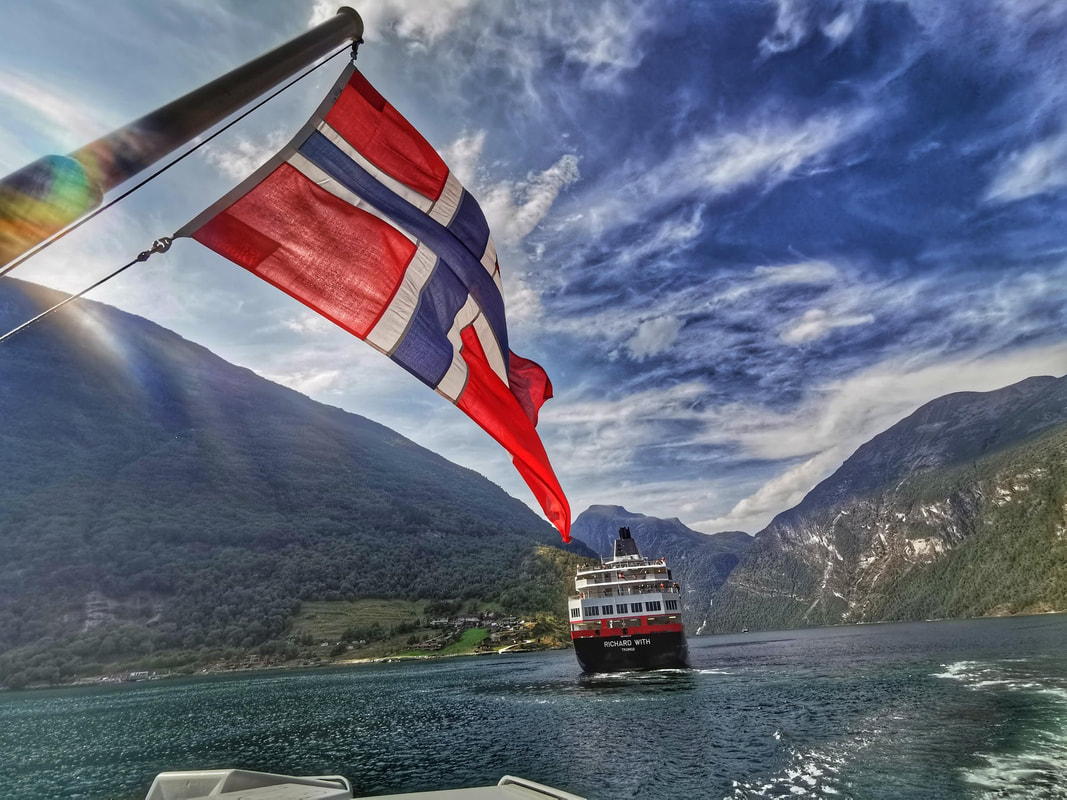
One of the key highlights of the Hurtigruten Norway Cruise was the Geiranger-Trollstigen scenic route. The cruise ship docked near the Geiranger bay, and we had to take a small speed craft to get to shore. The town of Geiranger was packed to the brim with tourists, probably enjoying the unusually warm summer.
The route between Geiranger via Trollstigen to Molde includes one UNESCO World Heritage site (Geirangerfjord), two National Tourist Routes (Geiranger - Trollstigen, and the Aursjøvegen Road) and one "construction of the 20th century" (the Atlantic Road). It is a 200km long stretch of road in a landscape varying from deep and narrow fjords, dramatic snowcapped mountains (in winter), cascading waterfalls and rivers, green valleys, many islands, and the signature Norwegian landscape. The 68km long road between Geiranger and Trollstigen is one of the 18 tourist routes in Norway, and undoubtedly one of the most popular one. Parts of this route is closed in winter, leaving a small window between May and October as the only possible means to visit this place. I suspect the hairpin turns, together with possible snow and avalanches in winter makes this place rather inaccessible.
The route itself consisted of a bus traversing really narrow hairpins along steep slopes. The drive is undoubtedly more dramatic than expected, and what's unique about driving in Norway is that fact that you can see people living almost everywhere. I saw farms even on the narrowest of the mountain ledges, and while many of the earliest settlers and farmers have moved on, a few remain, and bore witness to the changing times, and offered us a glimpse of how things would have been like throughout history.
First Stop. Ørnesvingen or the Eagles Road
Ørnevegen is the name of the eleven hairpin bends that ascend the steep, verdant hillside from Geiranger towards Eidsdal. There's a small waterfall that flows into the lookout and then descends below. At Ørnevegen, you can see the Geiranger town and the fjord leading into it. From here you can also see the famous waterfall “The Seven Sisters” cascading into the fjord.
Gudbrandsjuvet
Between Valldal and Trollstigen, 11 kilometres from Valldal, there's an interesting stop at the viewpoint at Gudbrandsjuvet. Gudbrandsjuvet is a 5 meter narrow and 20–25-metre high ravine through which the Valldøla River forces itself. The ravine is easily accessible from main road route 63 between Valldal and Trollstigen. This is apparently a new lookout point, and since it is along the route, it is ideal for a quick stop. There is also a back story to this area. According to a story from the 1500s, the ravine was named after a man called Gudbrand, who ran off with his new bride and saved himself from his angry pursuers by jumping over the ravine at its narrowest point. Gudbrand was declared an outlaw for his deeds and lived the rest of his life in a stone hut in one of the side-valleys above Gudbrandsjuvet. The valley is still called Gudbrandsdalen to this day. Point of interest: the small canyon or high ravine.
Trollstigen
Trollstigen, 16 kilometers from Gudbrandsjuvet, is together with Geiranger one of the most visited attractions in Norway. The journey towards Trollstigen was amazing. I was captured by the curvature of the slopes that are carved by the glaciers a long time back. What's unusual was that there were trees along the steep slopes, all the way to the summit. The mountains which encircle the Trollstigen road are enormous, and the landscape changes as we climbed up.... the forests disappeared and were replaced by alpine-like vegetation.
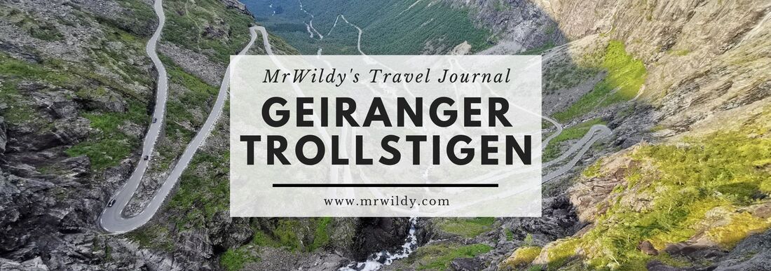
The Stigfossen Waterfall gushes down the mountainside towards the luscious Isterdalen Valley and in the middle of all this, the Trollstigen Road winds its way up the mountainside. At the rest stop, you can take the 15-minute walk to the strategically-placed viewpoint to see the magnificent hairpin route.
The road has a steep incline of 9 percent with 11 hairpin bends as it snakes its way along the steep mountainside at its a highest point, Stigrøra, at an elevation of 858 meters above the sea level. The road brutally twists and turns through the mountainous terrain and drivers can expect rock falls, narrow lanes, steep inclines, and unpredictable weather. The route is at its most dangerous in the dark and wet which make it incredibly challenging to navigate. It was a fine sunny day when I visited, and it was via a tour, so there wasn't any dangerous driving. If you are coming to Norway, try to make this one of the "to do" for your visit, especially if you are coming in summer. The picturesque landscapes would be all worth it!
0 Comments
Leave a Reply. |
Places I Have Been ToCategories
All
Archives
August 2022
|


 RSS Feed